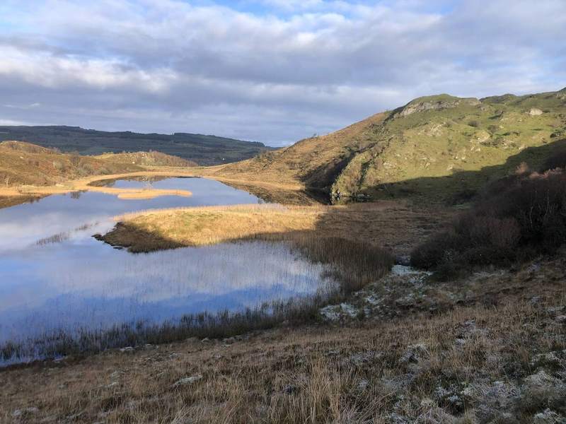
The landscape we work in — hill ground, drumlin farms, and land draining toward Lough Erne.
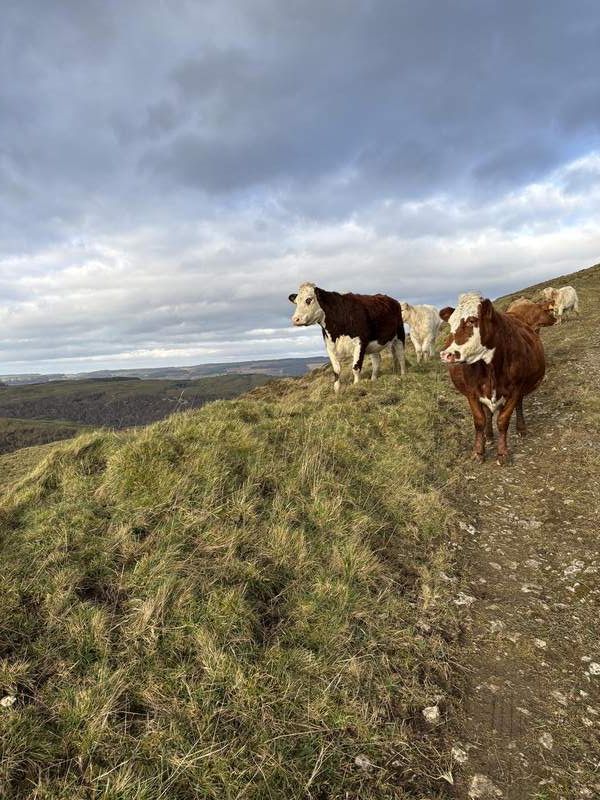
We work across the west Fermanagh catchment — the hill ground, drumlin farms, and land draining toward Lough Erne. This is marginal farming country: hill sheep and suckler cattle, small fields, and farm businesses that have to work hard against the land and the weather. Much of it is classified as High Nature Value (HNV) farmland — low-input, extensively farmed land that supports habitats and species found nowhere else.
It's also a landscape rich in natural value — peatland, rivers, and habitat that farmers here have managed for generations. Several of our member farms are now applying rotational and regenerative grazing practices to support both viable farm businesses and the environment they depend on.
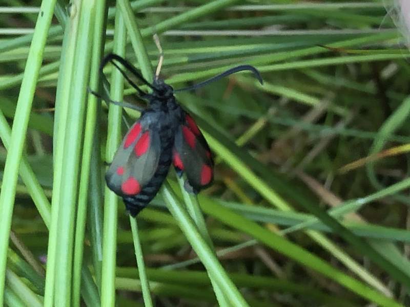
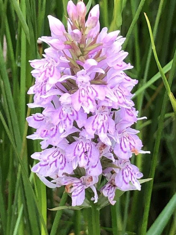
The Geopark designations reflect what farmers here see every season — hedgerows and wet grassland rich in species that depend on this kind of low-input, well-managed High Nature Value (HNV) farmland.
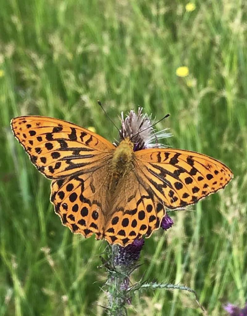
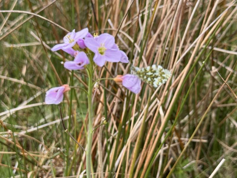
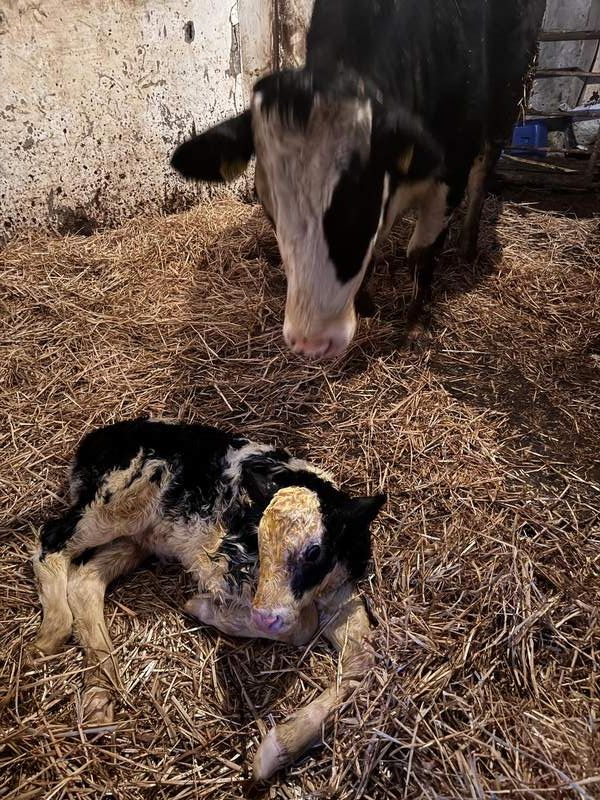
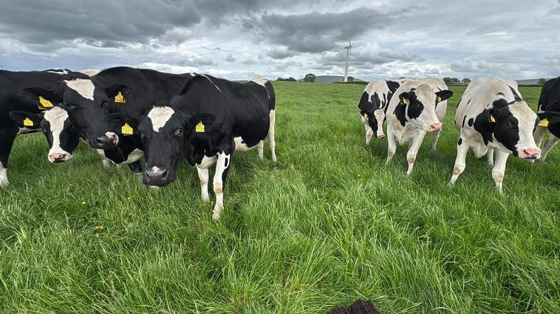
A working landscape — predominantly hill and suckler farms, with some dairy enterprises also part of the mix across west Fermanagh.
West Fermanagh sits within the Cuilcagh Lakelands UNESCO Global Geopark, on the border with counties Cavan and Leitrim. Much of our catchment overlaps with protected sites — ASSIs, nature reserves, and other designations — reflecting just how much natural value this farmed landscape holds.
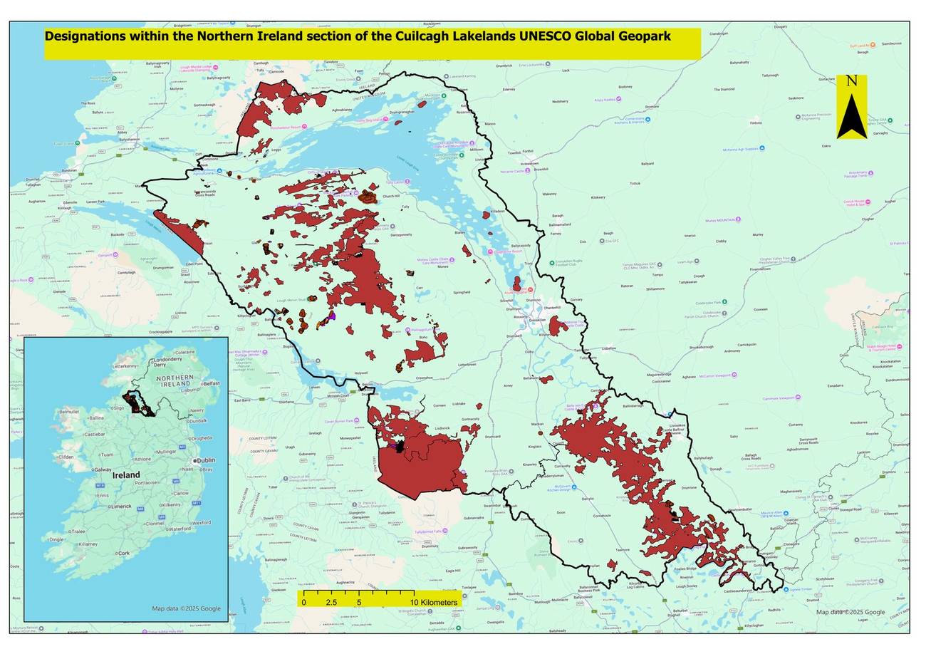
Environmental designations across the west Fermanagh area, within the Cuilcagh Lakelands UNESCO Global Geopark.